Saturday, October 5, 2013

Wet Weather on the Way for the Northeast, and How Much? Find Out!

          Over the past several months, the weather conditions have been on the dry side, with the abnormally dry conditions that have been spreading across the area on the drought monitor, is any improvement of the way? Well actually, there is quite a bit of rainfall that will arrive late tomorrow, though Monday, and into the first half of Tuesday. But before we get on that situation, lets go back and take a look at the current drought monitor.


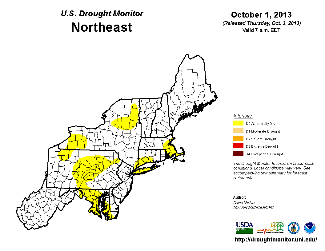
          As you can see, the majority of abnormally dry conditions have been in the southern, central, and eastern parts of the area. But enough of that, lets return to the upcoming rain topic. So where is this rainfall being produced from. First, there is a cold front traveling across the Ohio Valley right, now and will produce heavy rainfall along the frontal boundary. This will also arrive at nearly the same time as the remnants of Karen. Although the track of Karen is far south of the area, the cold front will funnel up the moisture into the southern parts of the region. Here is the 72 Hour Rainfall Totals Projection.


          As you can see, the heaviest rainfall will be in the western, and central parts of the northeast, with a little gap in the middle where there could be a lull in precipitation when there is rainfall on either sides of those locations, but not in that region. As you head east, a little less rainfall is expected because the rainfall from the cold front will not have as much coverage when it eventually meets the New England, Eastern New Jersey areas.

          Here are the timings of this event. Some moderate to heavy precipitation should be in Ohio and Michigan by later tomorrow afternoon. After that, the precipitation will travel into Pennsylvania, as well as Western and Central New York, by Monday Morning. But the heavier rainfall will likely not arrive in New York and Pennsylvania until later on Monday, into Monday Night. Continuing on, the rainfall will likely be steady across Ohio and Michigan. So the summary of all of this is, the rain is back, and on the noticeable side! Have a great rest of your weekend, and stay dry everyone!

Tropical Storm Karen Update: Long Term Effects

Tuesday, October 1, 2013

October 2013 Weather Forecast (Temperatures & Precipitation)

          As apposed to the abnormally dry conditions in the month of September (last month), this month should be slightly different. So lets get started with the temperature expectation. In the beginning of the month into the middle, above average temperatures should be anticipated cause by a large ridge, that will stay in place for the long term. But as for the end of the month, we expect cooler weather conditions to arrive, and are not quite yet ruling out that late October Snowstorm that we are used to seeing, for the past couple years. So to summarize the month, overall warmer conditions will rule with cooler conditions late. So with that said, here is our October 2013 Temperature Forecast.


          Now lets get back to the precipitation side of things. This October, near normal rainfall is on tap. But that could all be changed with one major rainstorm, which we could possibly have, so see that article involving that. But otherwise, there is not much to talk about, and we will see what plays out. This was your October 2013 Weather Forecast, thanks for reading and stay safe everyone!

Sunday, September 29, 2013

A Dry, Seasonal Start To The Week? Your Forecast Is Here!

          Here is your weather forecast for Monday September 30th, 2013, lets get started with the expected temperatures. Overall, we are looking at mainly 60's and 70's across the commonwealth with very isolated upper 50's as highs at higher mountain ranges. Compared to normal, these are seasonal temperatures just to say, in case you were wondering. So that's a wrap for the temperatures, now lets get into the rain that could dampen some plans. Well, there is not much to talk about at all, with the exception of a dissipated cold front causing a few scattered rain showers in the Ohio region. Here is the simulated radar for late tomorrow morning. There is not much to see to say the least.


          This has been your Monday September 30th, 2013 weather forecast, thanks for reading, stay safe and have a great start to your week everyone!

Our YouTube Videos